
Pick the direction
If you are coming from Belfast, start with the M1. If you are heading west, the M4 and the M6. If you are going south, the M7 and whatever of its branches apply to you.
Notice. m5online is an information site about roads, tunnels and bridges in Ireland. No tickets, tolls, tours, bookings or any other service are sold here, and no page can be used to make a payment. Read the disclaimer.
Ireland · roads and views
Eight long notes on the roads that cross the country: the motorway network, the tunnels under water, the cable-stayed bridges, tolling, signs, coastal roads and the places worth stopping at. Each one has text, tables and diagrams.
Each note stands on its own. Start with the network if you only want one.
 01
The M network from north to south, junction numbers and how to read them.
Read the note 02
Dublin Port Tunnel, the Jack Lynch Tunnel and the Limerick Tunnel.
Read the note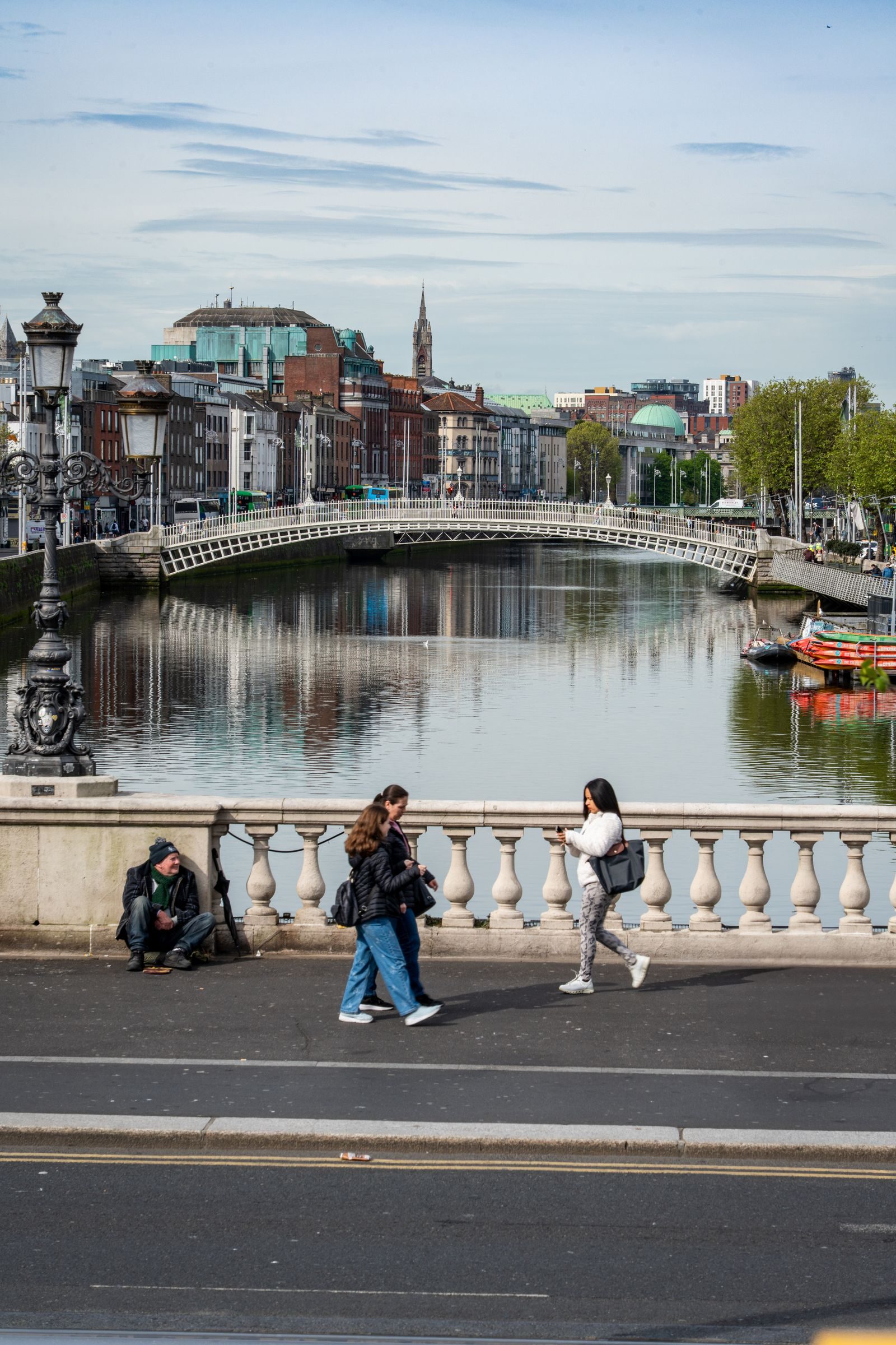 03
From the Ha'penny to today's cable-stayed bridges, and where to see them.
Read the note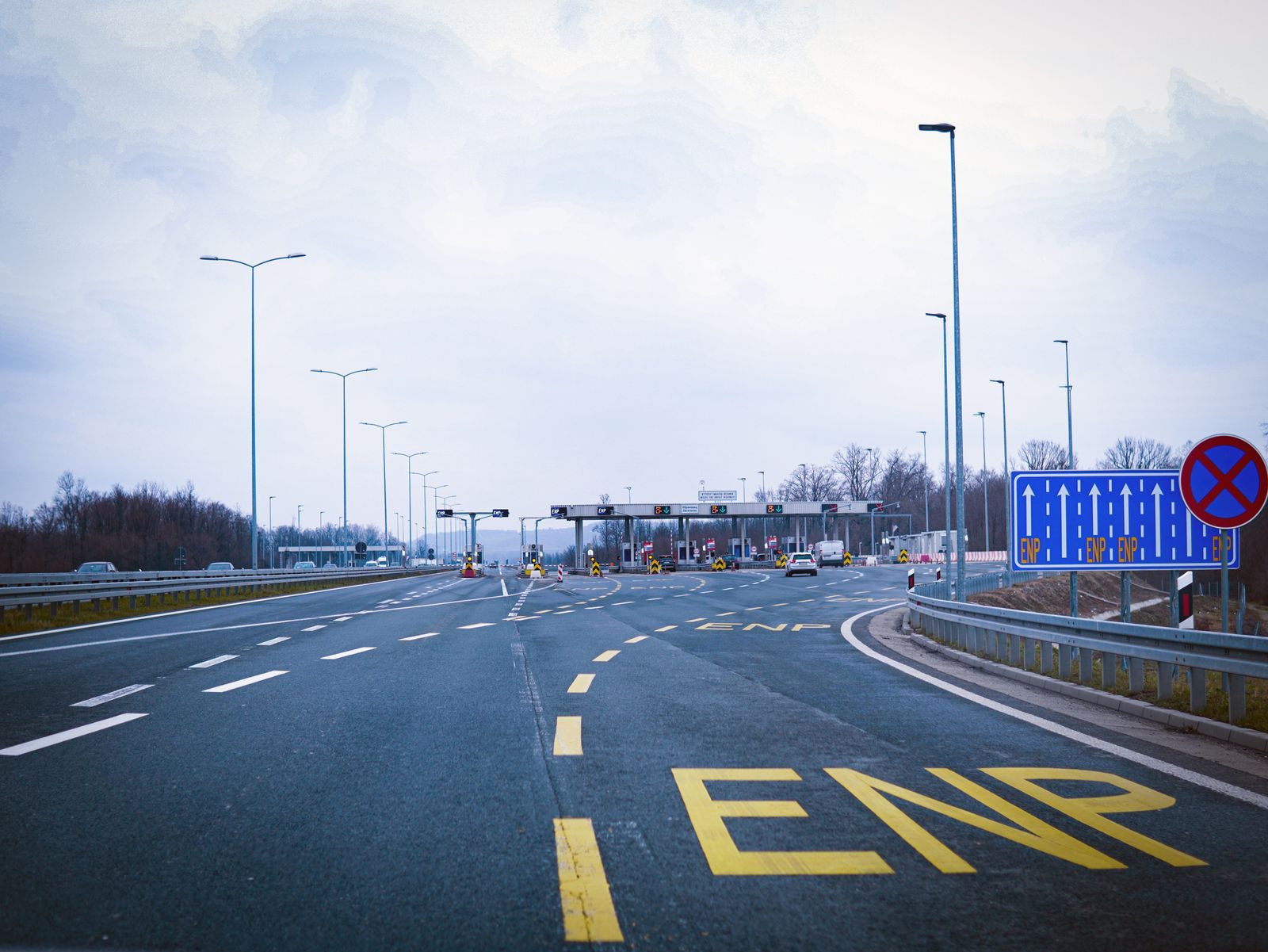 04
Barrier-free tolling on the M50, and which routes charge a toll.
Read the note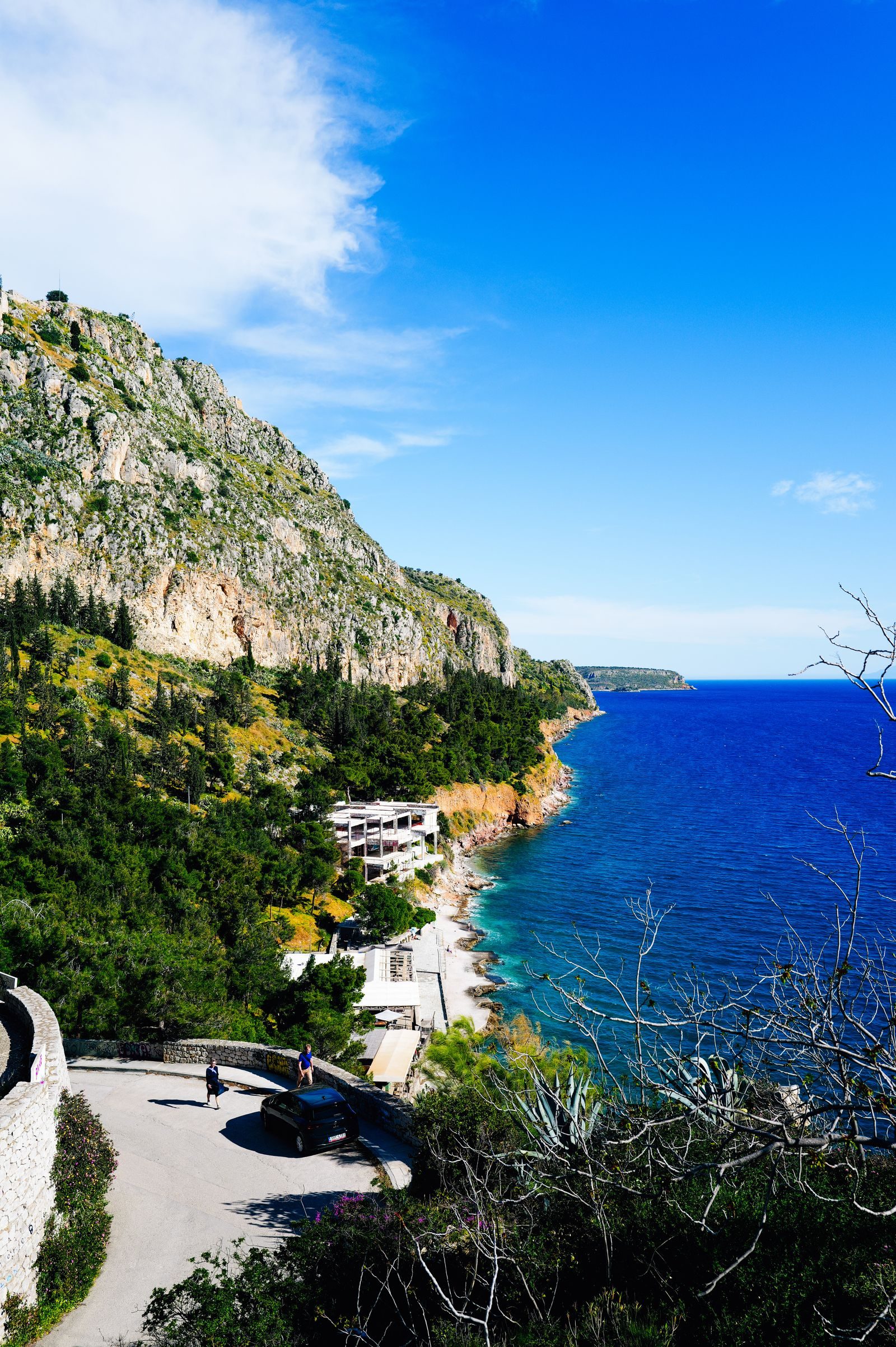 05
Wild Atlantic Way, Ring of Kerry, Conor Pass and the narrow roads.
Read the note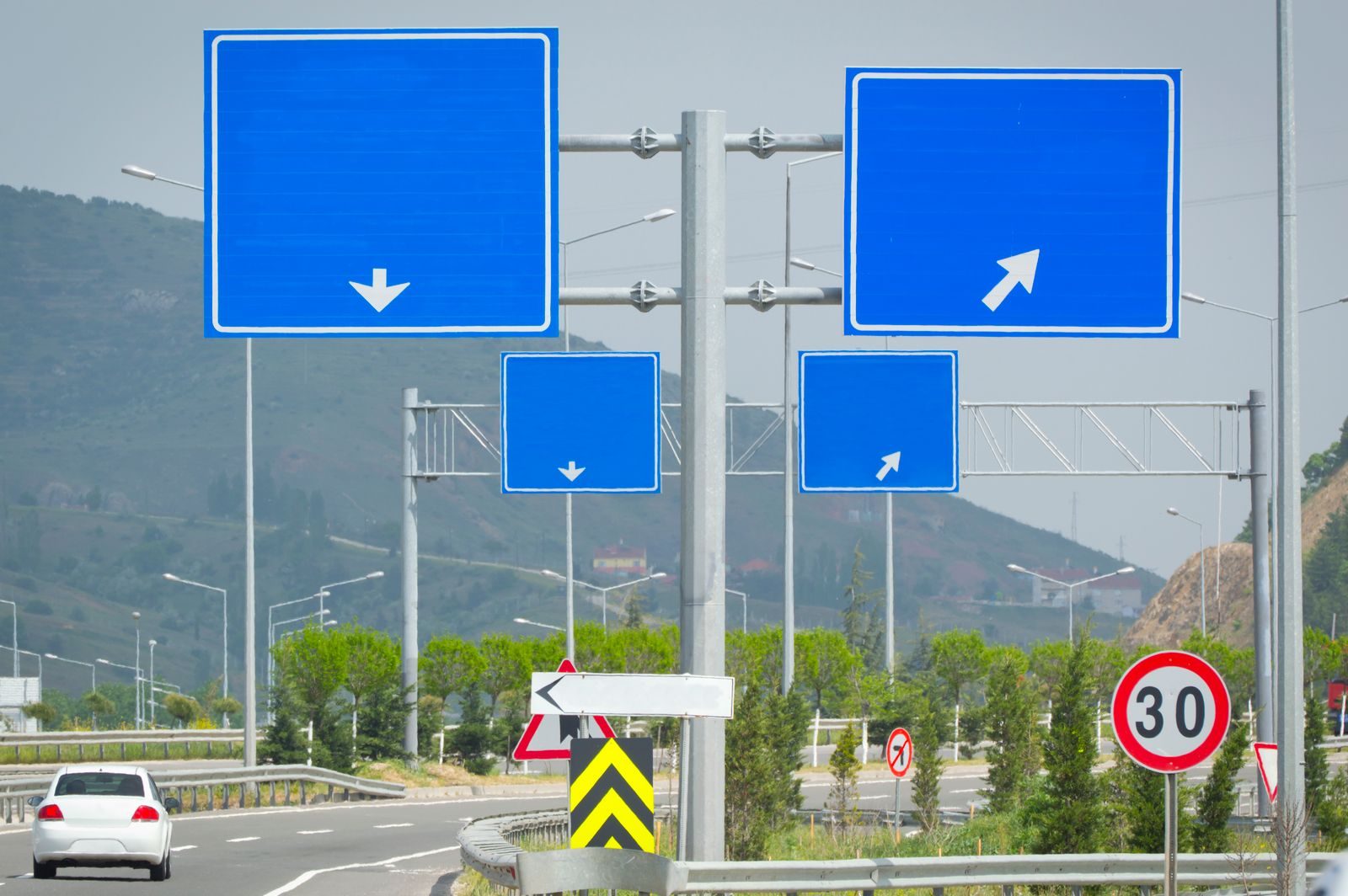 06
Blue, green, white, brown: how to read Irish road signs.
Read the note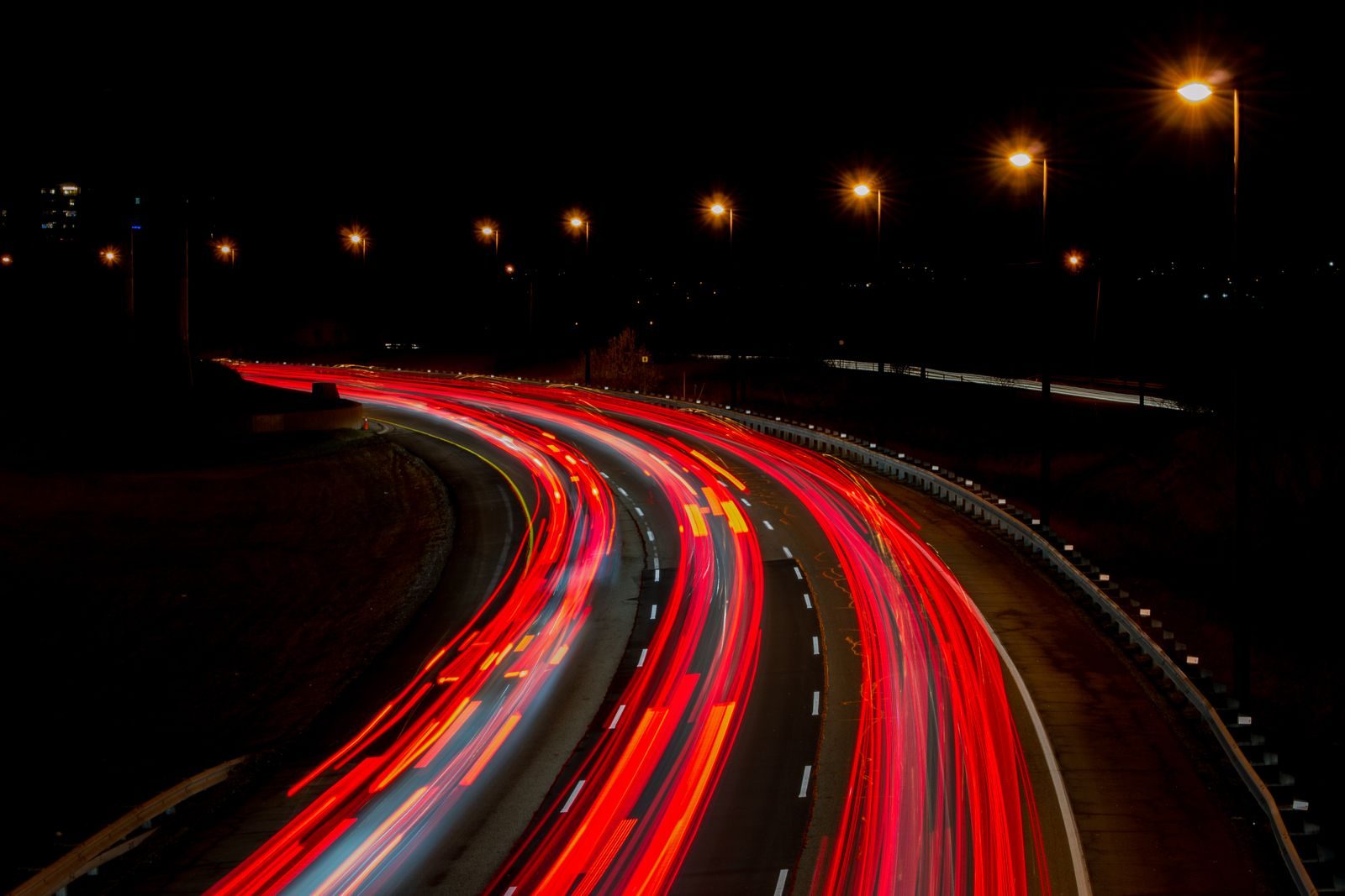 07
Distances, driving time, fuel, parking, weather and emergencies.
Read the note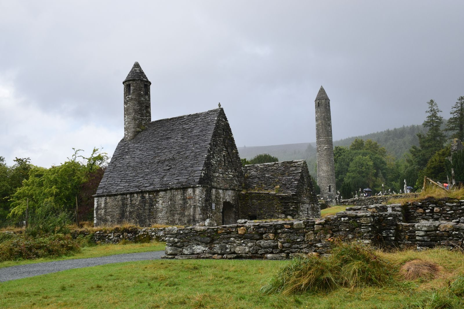 08
Views, ruins and viewpoints beside the roads.
Read the noteThree approaches that work almost every time.
If you are coming from Belfast, start with the M1. If you are heading west, the M4 and the M6. If you are going south, the M7 and whatever of its branches apply to you.
Blue, green, white, brown: the colour tells you what is ahead. This matters more than the number on the sign, and it is always clearer.
Coastal roads are not as fast as motorways. Put one stop in every two hours of the plan, and do not expect motorway speed on a narrow road.
m5online cannot help with an emergency. This page is informational only. The numbers below are the ones to call.
Dublin is the hub of every main road. You cannot go south without crossing the city's outskirts on the M50 or on the roads that lead off it. The ring is a motorway roughly 45 kilometres long, linking the M1 to the north, the M2, M3, M4 and M6 to the west, the M7 and M8 to the south, and the M11 south along the east coast.
On the west coast there is no major motorway. National roads, regional roads and local roads make the connection, and those are the most interesting roads in the country. The Wild Atlantic Way is made of them, and marked with brown signs.
m5online publishes these notes. It is not a transport service, a travel agency or a toll operator. There is no offer, price or payment on the site, and an email to us does not create a contract. The full rules are in the editorial policy and the disclaimer.
The short answers to what people ask most.
No. This is an information site. No tickets, tours or bookings are sold, and no payment is accepted.
The general maximum is 120 km/h, but lower limits are signposted in places. Follow the sign and the weather.
No. Only parts of the network are tolled. There is a general list in the note on road tolls.
They are photographs stored on this site, and they are often not photographs of specific places in Ireland. This is explained in the editorial policy.
You may quote it with a link to the page. The full terms are on the terms of use page.